October 2026

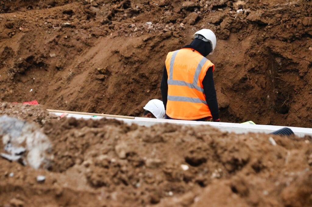
Workers in hard hats beside exposed utility pipes in an excavated trench, one wearing an orange reflective vest.

Before Backfill: Coordinating Survey Capture for Useful Utility As-Builts

The time to discuss underground utility documentation is before the contractor is ready to cover the installation. For an as-built record—a record of what was installed rather than simply what was designed—make survey coordination part of the work plan. FHWA warns that old site plans and as-built diagrams may be unreliable and that relying too

Before Backfill: Coordinating Survey Capture for Useful Utility As-Builts Read More »

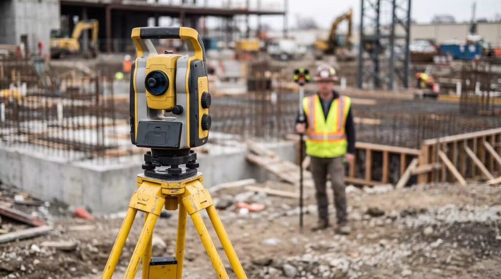
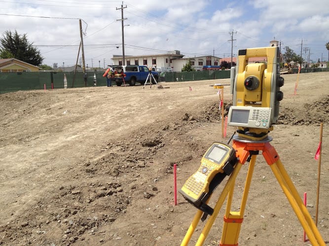
Robotic total station on a yellow tripod at a commercial construction site with a surveyor in the background

Grid Distance vs. Ground Distance: How Combined Scale Factors Connect Them

A distance calculated between survey coordinates does not always match the horizontal distance measured on site. That difference does not automatically mean either measurement is wrong: one may be a grid distance, while the other is a ground distance. The combined scale factor connects the two. Before a contractor or engineer combines survey and design

Grid Distance vs. Ground Distance: How Combined Scale Factors Connect Them Read More »

Landset Engineers Inc

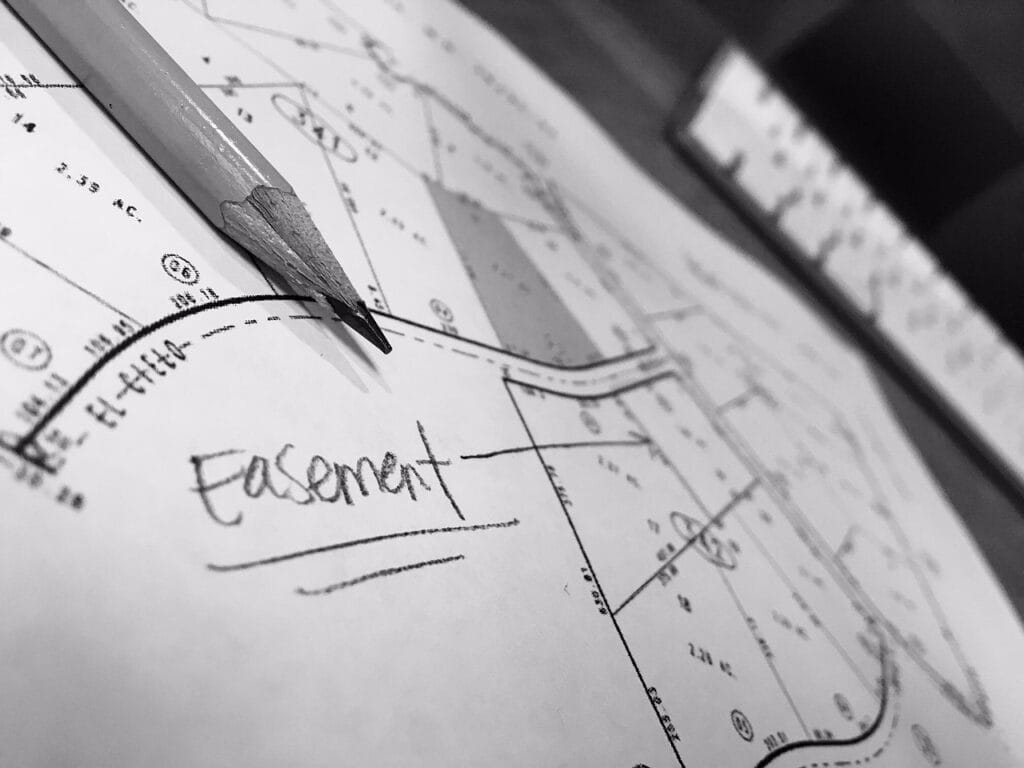
Signed, Sealed, and Digital: Preparing Survey Files for Agency Submission

A survey PDF can display a professional seal without answering the questions that matter at submission: Who authenticated it, can that authentication be checked, and is this the file the receiving agency wants? Before combining a survey with construction plans or uploading a permit package, separate the seal’s appearance from the document’s authentication. The safest

Signed, Sealed, and Digital: Preparing Survey Files for Agency Submission Read More »