
Land surveyor
Modern Technology in Land Surveying (GPS, Drones, LiDAR)
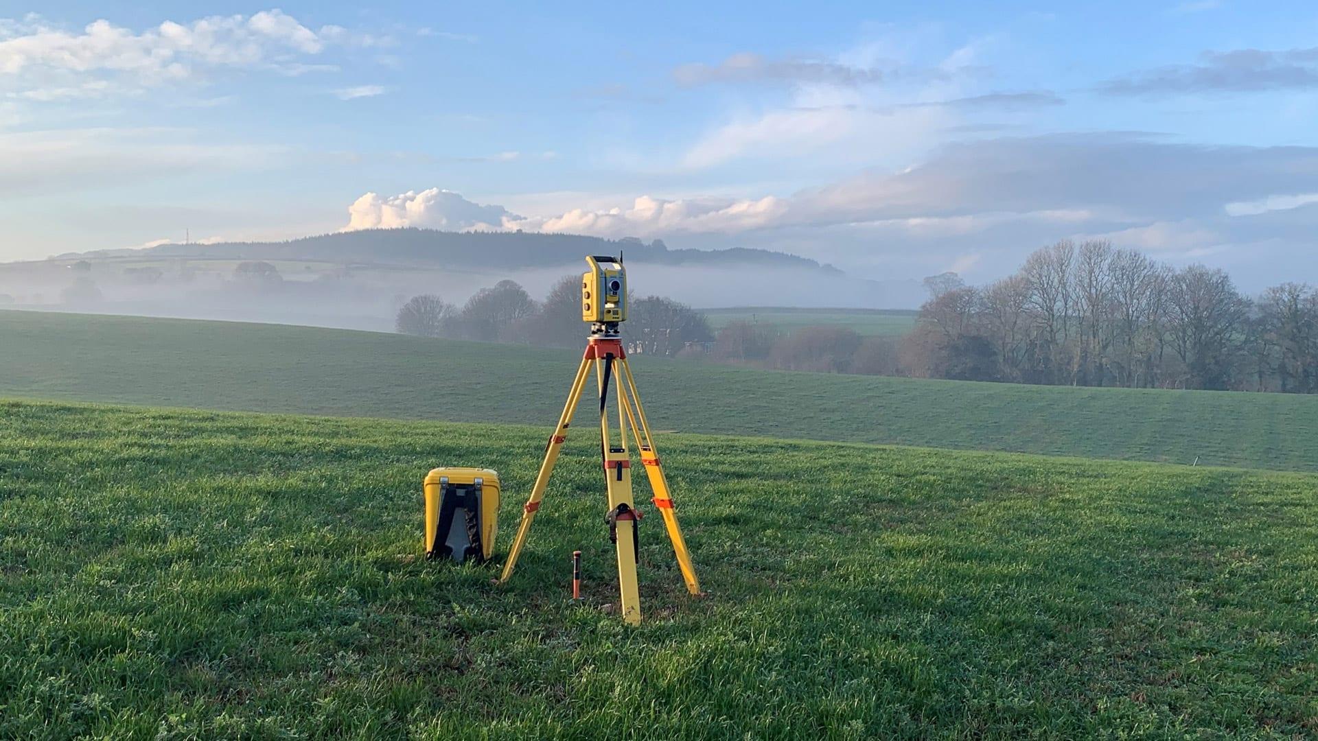
Modern Technology in Land Surveying: How GPS, Drones, and LiDAR Are Transforming Accuracy and Efficiency Land surveying has always been the foundation of civil engineering
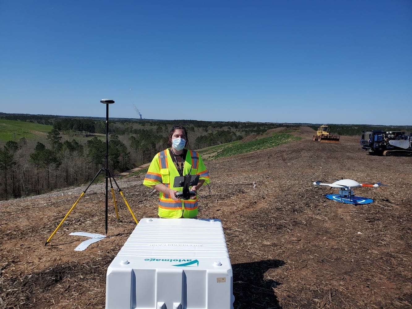
Modern Technology in Land Surveying: How GPS, Drones, and LiDAR Are Transforming Accuracy and Efficiency Land surveying has always been the foundation of civil engineering
Common Boundary Disputes and How a Survey Can Prevent Them Property ownership is one of the most significant investments most people will ever make. Yet,
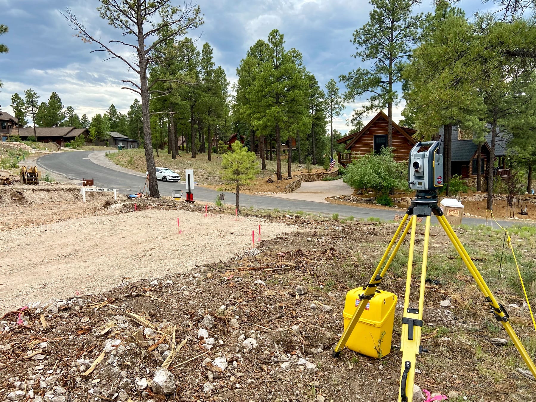
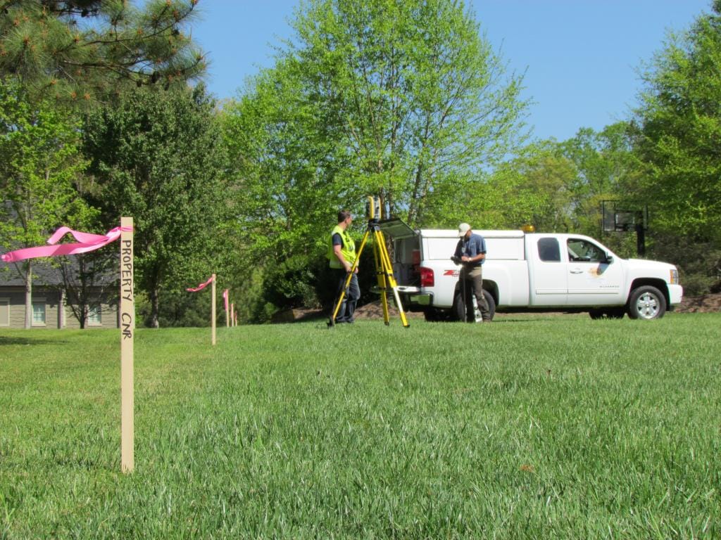
From Concept to Completion: How Land Surveyors Support Every Phase of a Project Behind every successful land development, infrastructure improvement, or construction project is a
What Is the Best Website to Search for Land Surveyors? If you’ve ever tried to find a land surveyor, you probably noticed it’s not as
Land Surveying vs. Guesswork: The Hidden Costs of Skipping a Proper Survey In the world of civil engineering and land development, there’s a common temptation:

Adverse Possession and Land Surveying: Legal Principles, Practical Challenges, and Professional Responsibilities Adverse possession is one of the most misunderstood doctrines affecting land ownership, yet