The Top 10 Questions Asked of a Surveyor
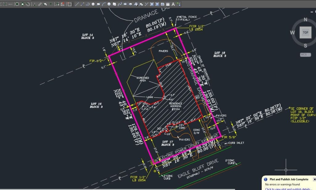
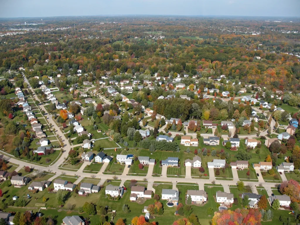
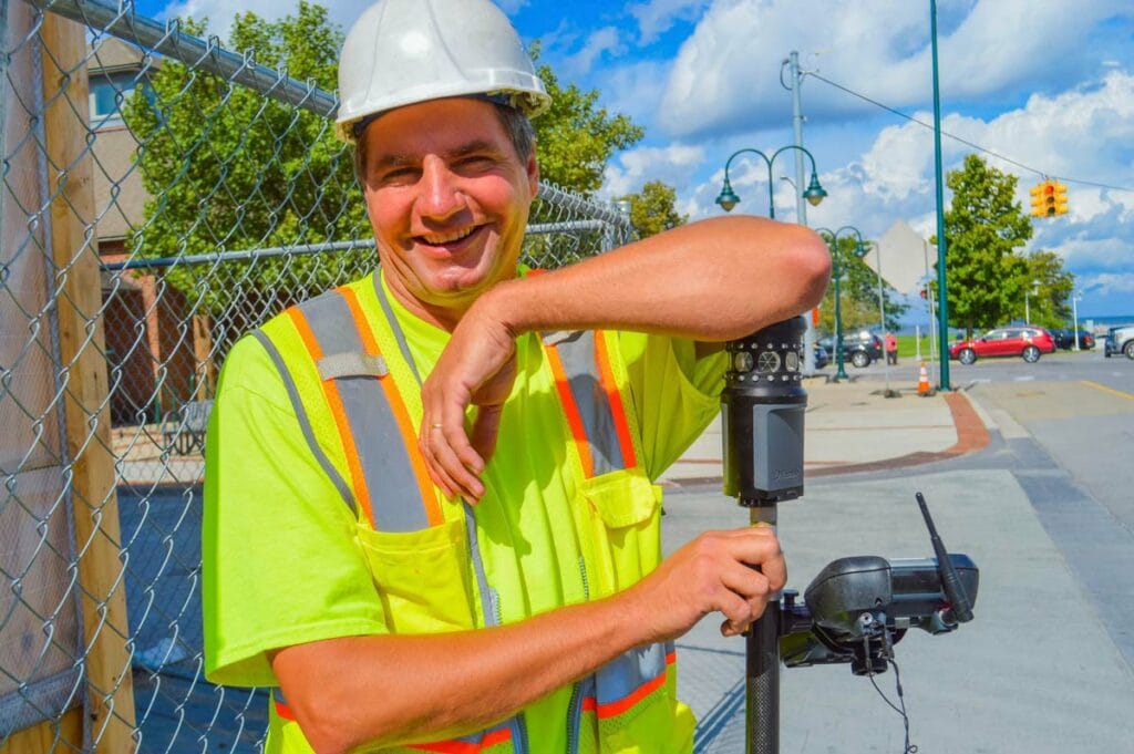
The Top 10 Questions People Ask a Land Surveyor Land surveying plays a critical role in property ownership, construction, land development, and infrastructure planning. Despite its importance, many property owners and developers do not fully understand what land surveyors do or when they should hire one. As a professional discipline that combines engineering principles, mathematics, […]
The Top 10 Questions Asked of a Surveyor Read More »