How a Land surveyors Marks Property lines Accurately
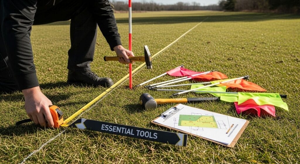
How a land surveyor marks property lines accurately How Land Surveyors Mark Property Lines: Understanding Deeds, Plats, and Public Records Determining exactly where one piece of land ends and another begins is a foundational part of property ownership. Whether you’re preparing for construction, resolving a boundary dispute, or simply learning more about your land, understanding […]
How a Land surveyors Marks Property lines Accurately Read More »